ZAKYNTHOS
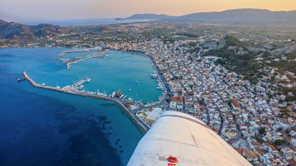
Zakynthos, or “Tzante”, or the Fioro of Levante (= Flower of the East) according to the Venetians, is the eleventh largest island in Greece, as well as the third largest (after Kefalonia and Corfu) and second largest (after Corfu) island in the Ionian Islands.
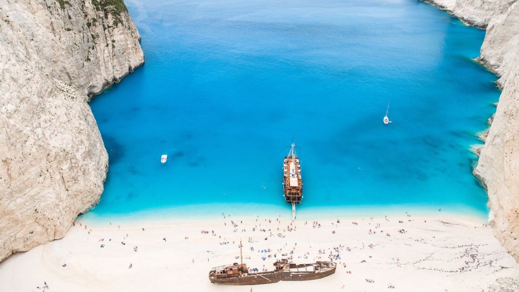
MARATHONESI
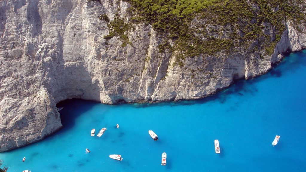
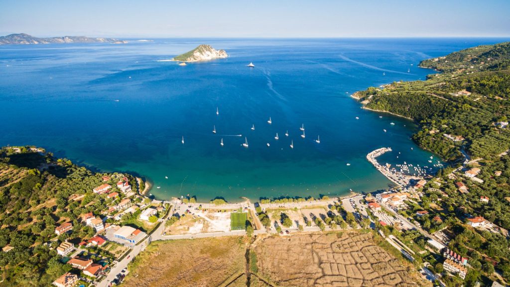
Marathonisi or Marathonisi is an island in Laganas Bay, near Zakynthos, and very close to Marathias in Keri. It is in the Natura 2000 protection programme. It hosts loggerhead sea turtles, where they lay their eggs. It also has many caves. The island can be visited by boat, but because it belongs to the Zakynthos National Marine Park, anchoring is prohibited.
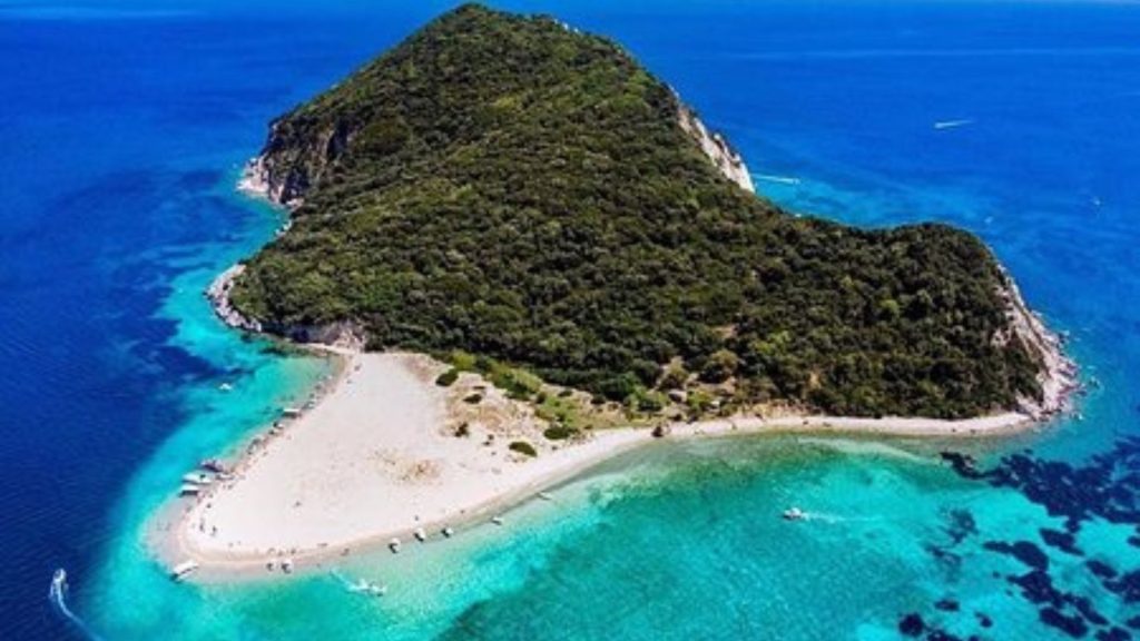
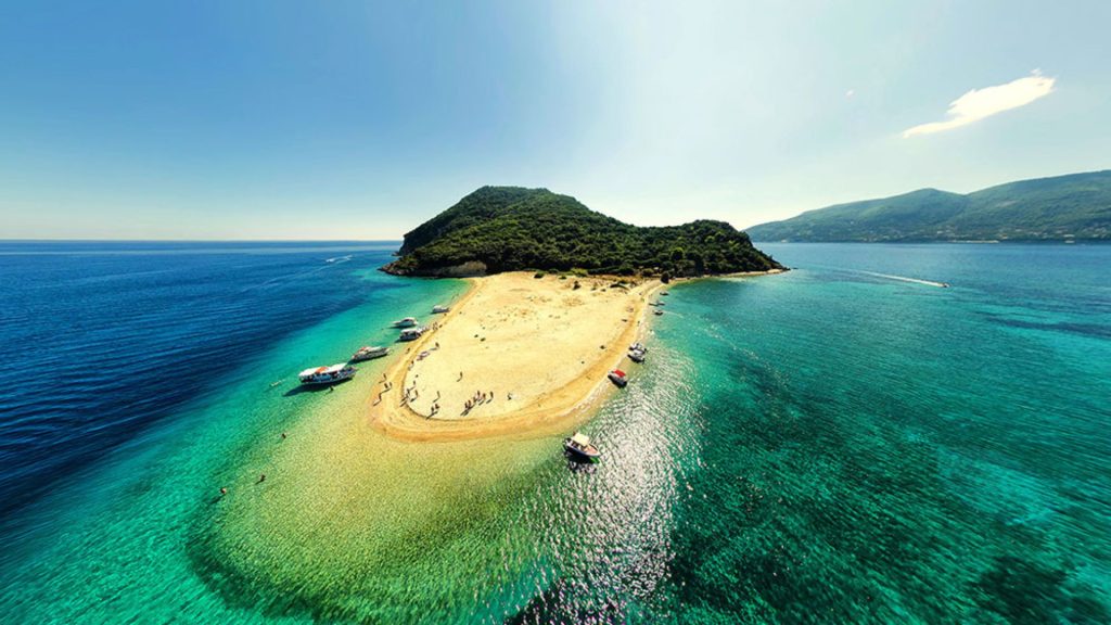
MYZITHRA
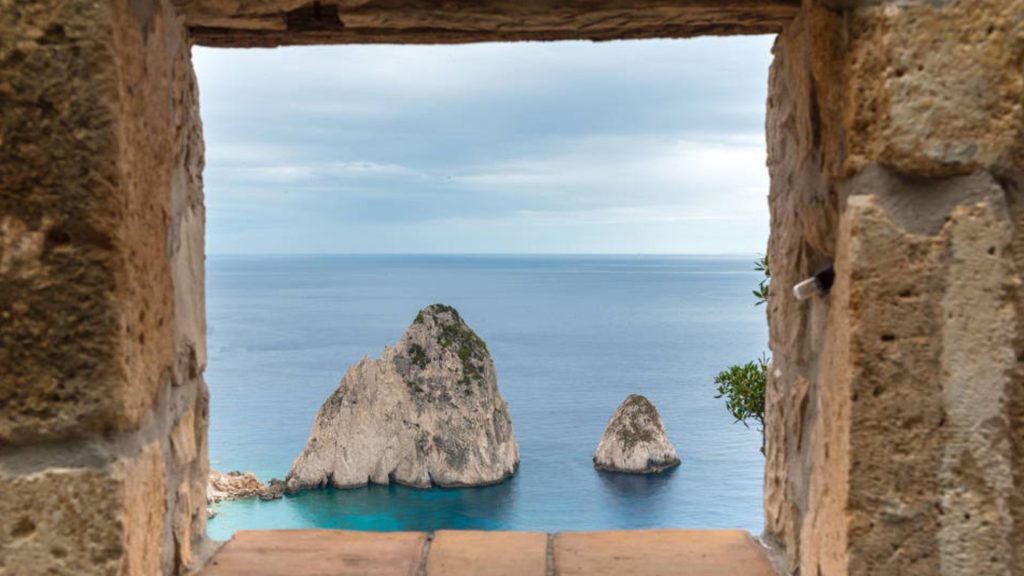
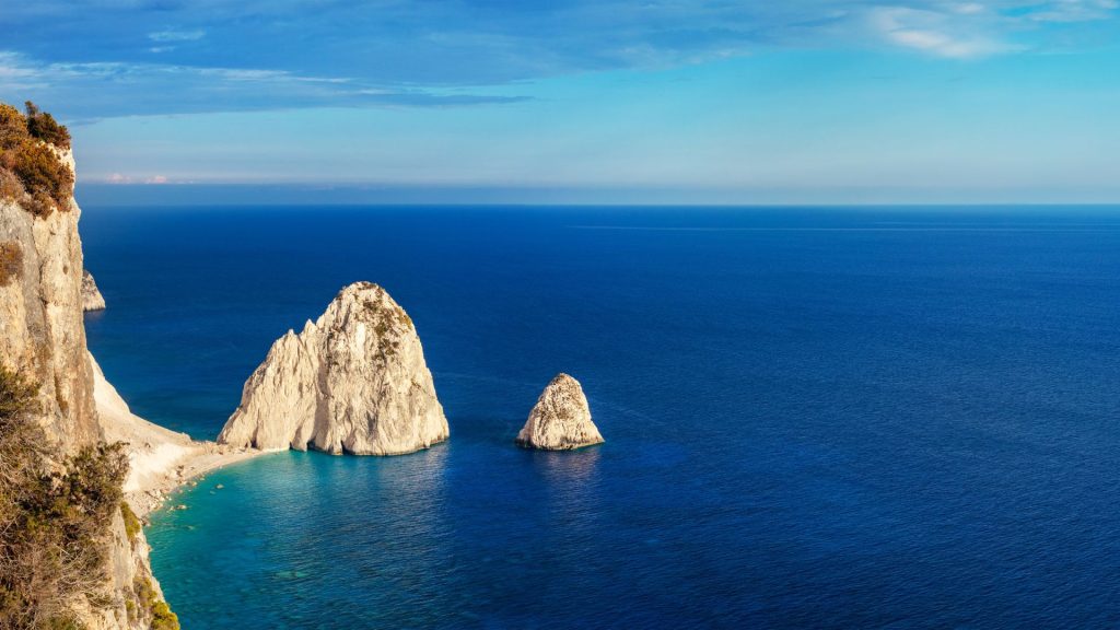
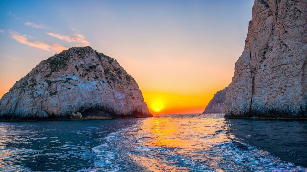
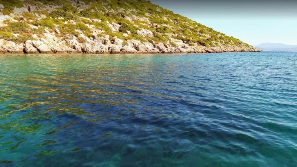
Mikri Mizithra is a rocky islet in the Ionian Sea on Zakynthos. Together with Megali Mizithra (which is larger in size and joins the coast), they are a continuation of a steep cliff and are collectively called Mizithra or Kotronia or Pyrgakia or Lampado. They are two conical towering and all-white rocks, located southeast of the lighthouse of Keri. They take their name from myzithra, a white cheese made in Zakynthos. They can only be reached by sea, either by private boat or by a boat that runs sea excursions. The surrounding sea area has strong currents and nearby is the ‘Well of Oinos’, the deepest point in the Mediterranean.
There are two rocky hills very close to the steep coast that descends vertically into the sea and together they form a small beach of fine sand where you can only reach by boat.
As you admire them you will notice that one of these two rocky hills has an opening that you can swim across and is inhabited by numerous sea starfish.
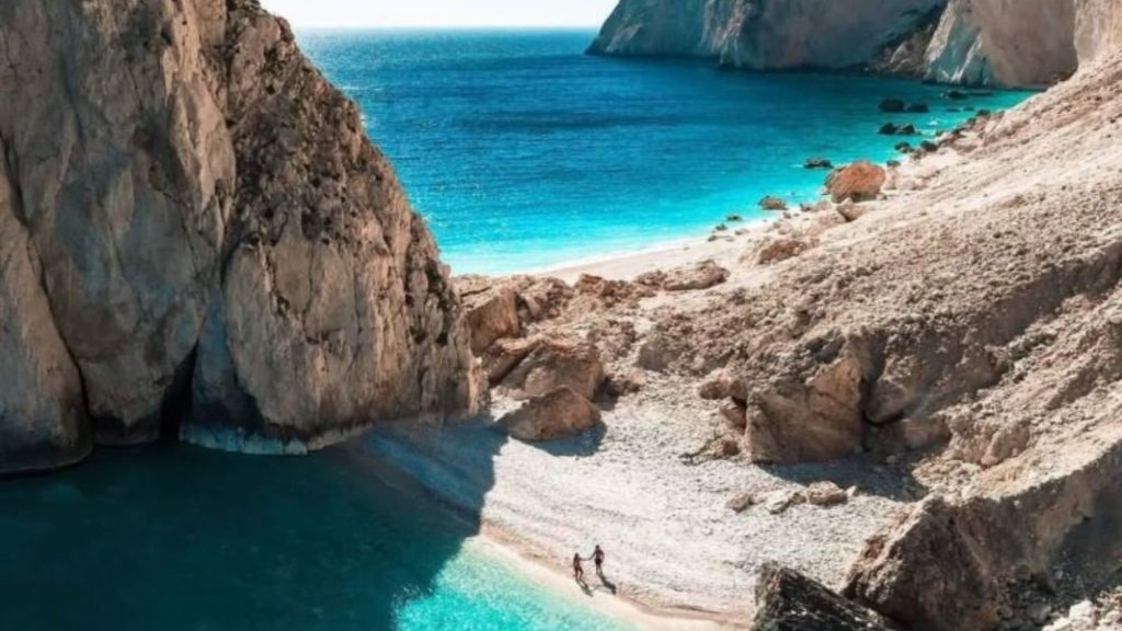
KERI LAKE
Keri Lake is a small lake, but also the name of a settlement, located in Zakynthos to the west of Laganas Bay, near Cape Keri. The lake has an area of only 282 acres and dries up completely during the summer months. It is known mainly for the oil that gushes out of it.
KERIOU FAROS
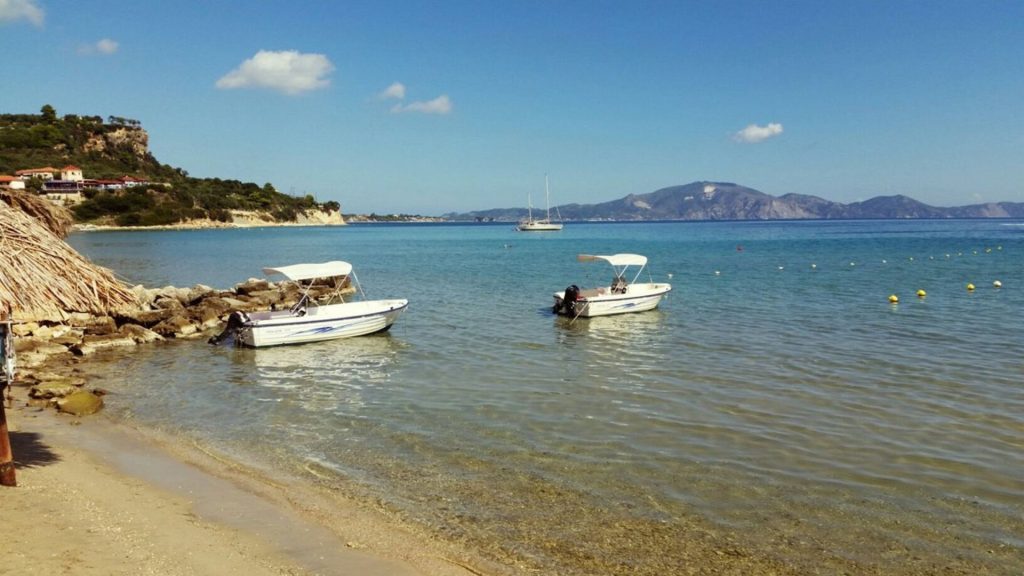
Alongside the small lighthouse that rises at the edge of the cape, you can park your car in a dirt area, perpendicular to the sea, from where you can enjoy a truly unique view.
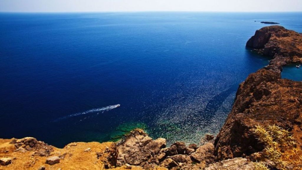
What you will see from up here, especially on days with good weather, will be an unforgettable moment of your visit to the island, because walking alongside the small lighthouse you will also have the opportunity to observe, high up from the rocks, the Mizithres.
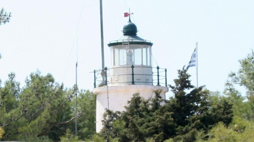
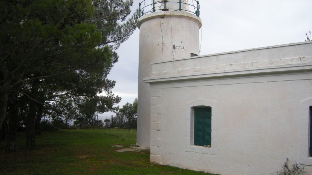
The stone lighthouse Keri at cape Marathias. It is 1 km southwest of the village, has a round tower 9 meters high, a focal height of 190 meters and a view of the two huge white rocks, the big and small Mizithra. The lighthouse first operated in 1925 and during the Second World War it remained switched off. It was reopened in 1954 as a guarded lighthouse with oil as the source of energy and in 1982 it was electrified for the first time and has been operating as a guarded lighthouse ever since.
KERI
Keri is located in the southwest of the island at an altitude of 200 meters in an area covered with olive groves, vineyards and forests of pine and holly trees. The village is about 20 km from the town of Zakynthos and is characterized by its old, stone houses, which survived the earthquake of 1953 and its narrow streets. Its inhabitants produce olive oil and wine.
KERI CAVES
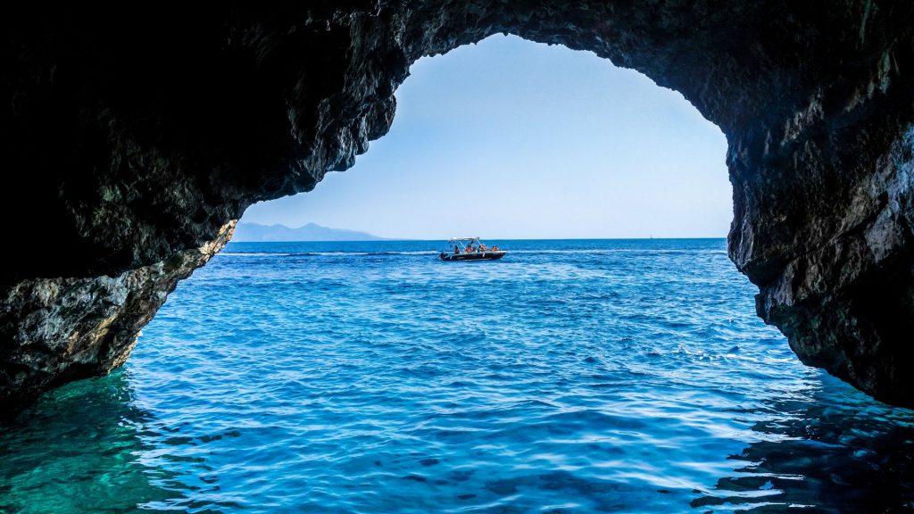
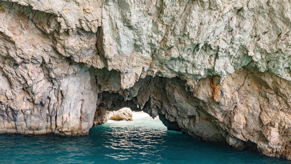
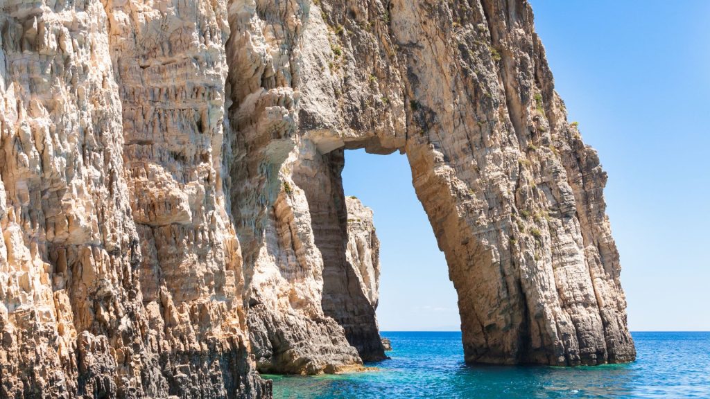
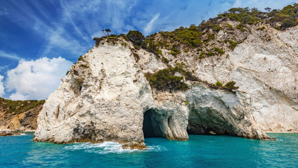
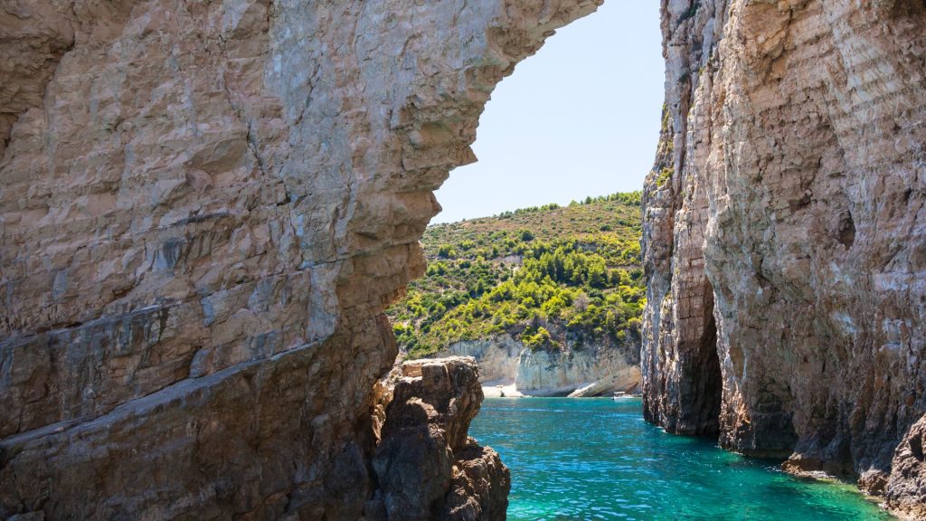
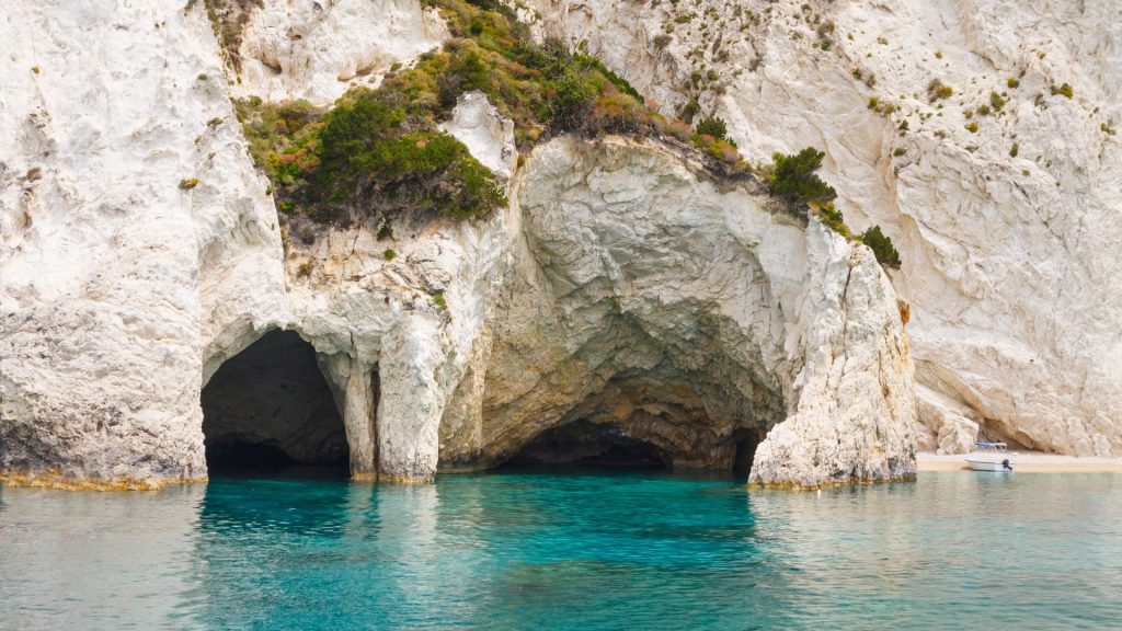
The caves of Keri, which can be reached by private boat or by joining an organized excursion, are spread near Cape Marathia, on the southwestern side of the island.
This stretch of coastline presents a myriad of caves, many with an entrance that barely allows you to swim through, others with an entrance large enough to be entered directly by boat.
It is very easy to approach the caves because the ground above them ends up perpendicular to the sea and therefore the deep water presents no particular difficulty in approaching them.
While visiting the caves it is possible to stop for swimming and sunbathing on one of the small sandy beaches of Cape Marathia or to proceed by boat to admire the Mizithres.
WELL OF OINOYSES
The Well of Oinousses is a trench that is the deepest point in the Mediterranean Sea with a maximum depth of 5,269 metres. It is located in the Ionian Sea, southwest of Pylos, south of the small islands called Messinian Oenoussa.
The well is located at the point where the African plate, part of which is the Eastern Mediterranean lithosphere, sinks beneath the Eurasian lithospheric plate, part of which is the Aegean plate, creating the Aegean Arc, an arcuate mountain range of the southern Aegean Sea located at the southern limit of the Aegean plate.
AGIOS SOSTIS
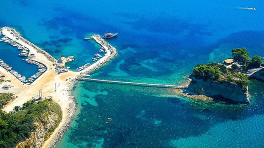
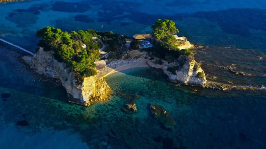
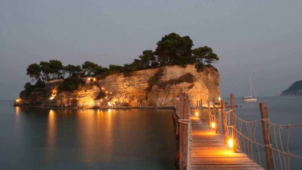
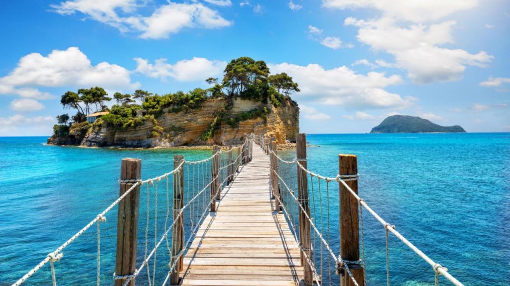
Agios Sostis or Riganato or Loungi[ or Kameo is an uninhabited small island in the Ionian Sea in Zakynthos. It is located very close to the central coast of the Gulf of Laganas from which it was cut off after an earthquake that occurred in the area in 1633. It is joined to the mainland by a small wooden bridge.
PANAGIA DEI KERIOTISSA
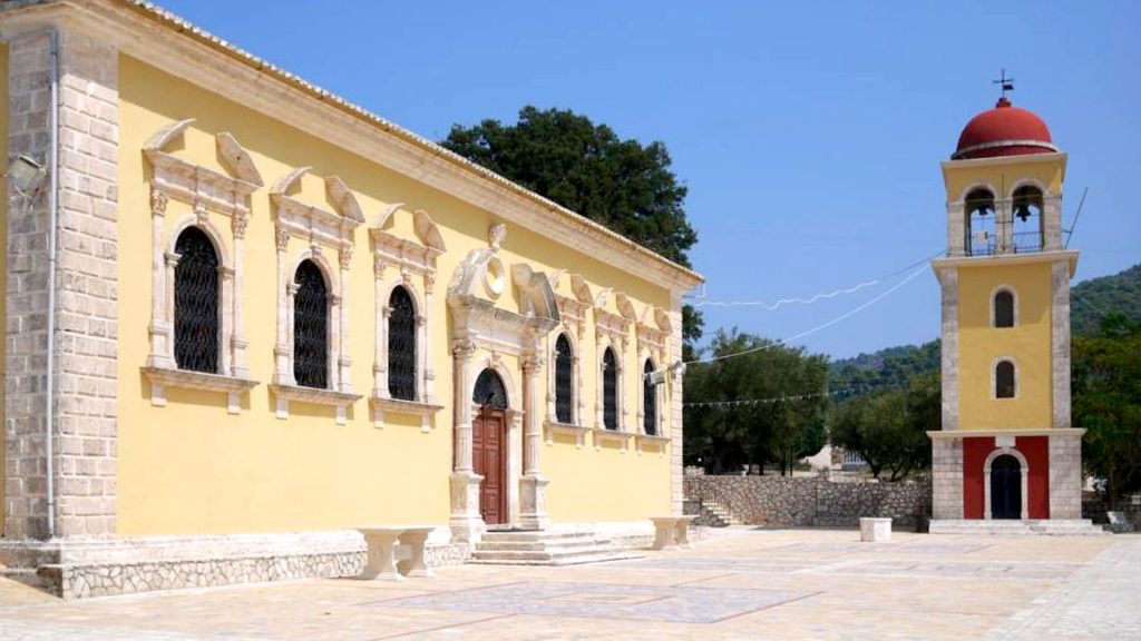
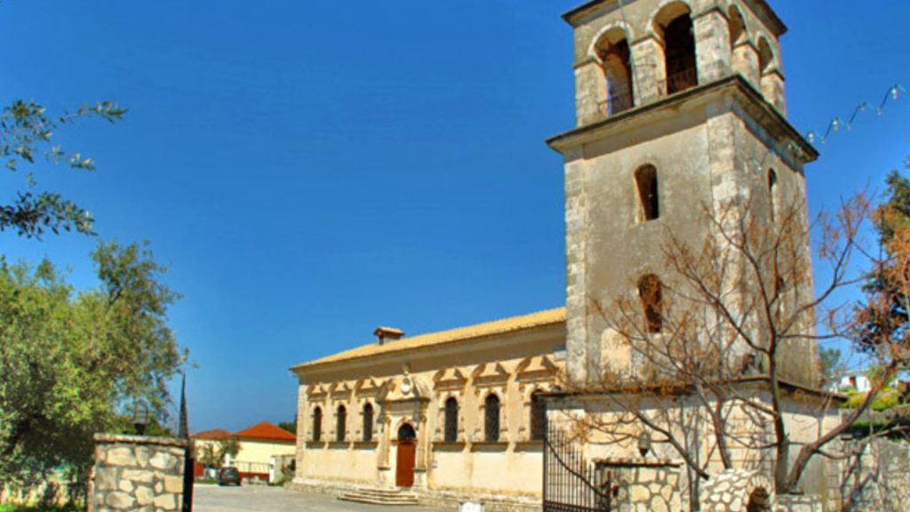
Its beautiful, well-kept paving is very eye-catching, especially in the areas with coloured details. The church is impressive with its ochre colours, the stone-built parts, the reliefs on the windows and the entrance with columns that look like ancient columns. Its bell tower is also impressive in burgundy and ochre colours complemented by stone details. The original form of the church is not known to us; it belonged to Venice, which granted it to the villagers in 1630. It was renovated in 1745 and after the earthquake of 1953 it was restored. Inside the church there is the ancient icon of the Virgin Mary, a right-handed icon considered miraculous.